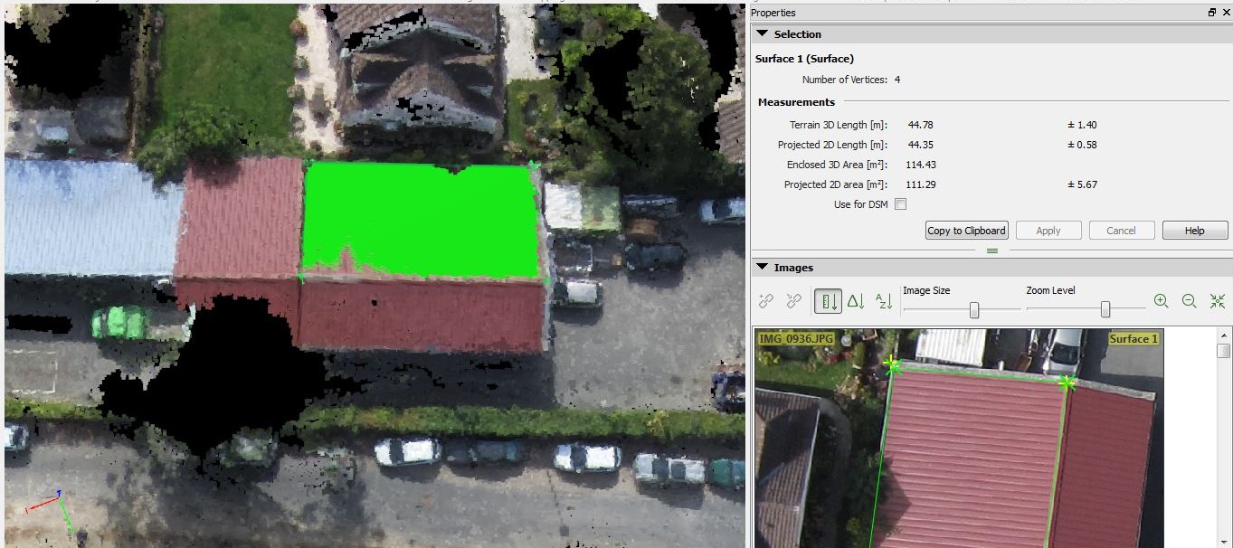
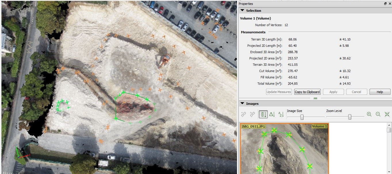
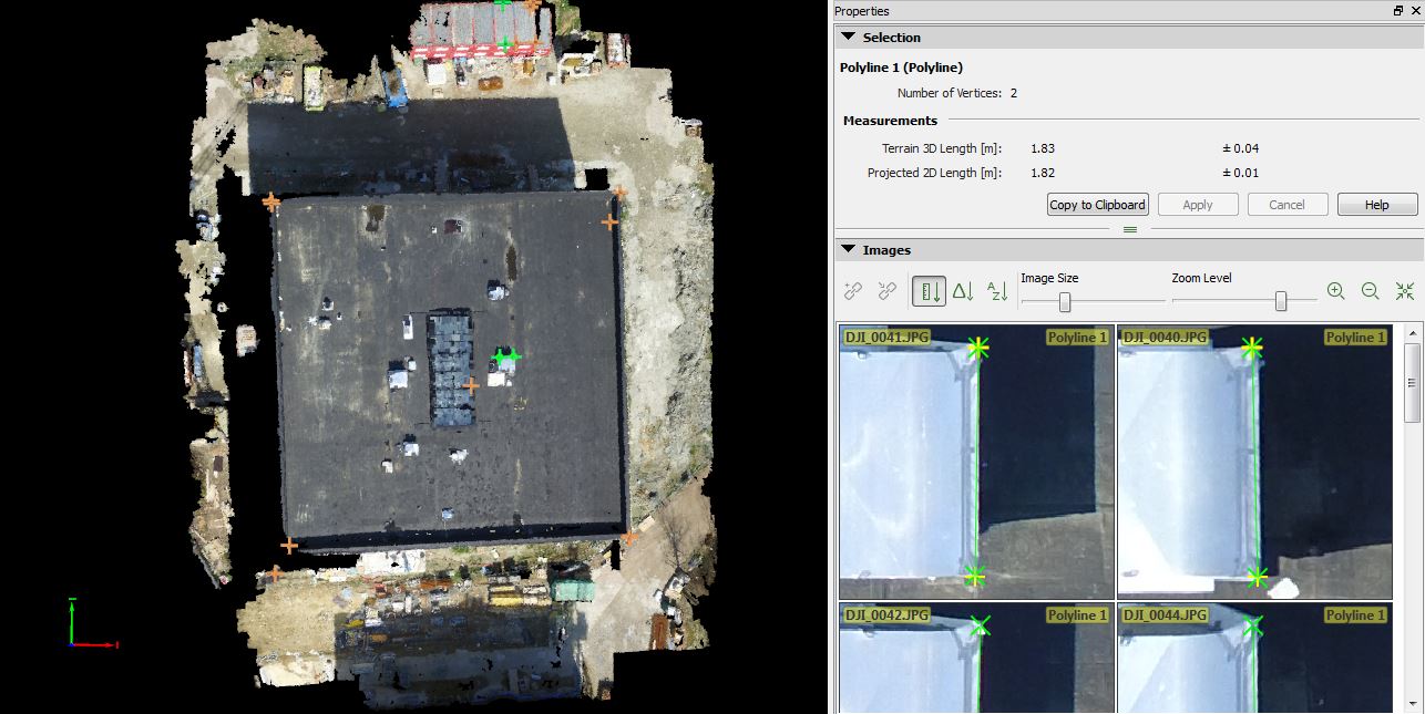
Based on aerial photos, we create 3D point clouds of an object using photogrammetry software. The coordination of each point is known so that it is possible to take spatial measurements in the 3D model. In this way, we can measure the dimensions of every visible object in the photos and calculate volumes or surface areas.
For construction companies, this can be a useful application, for example, to plan new projects on construction sites or to measure existing structures in order to carry out work.


