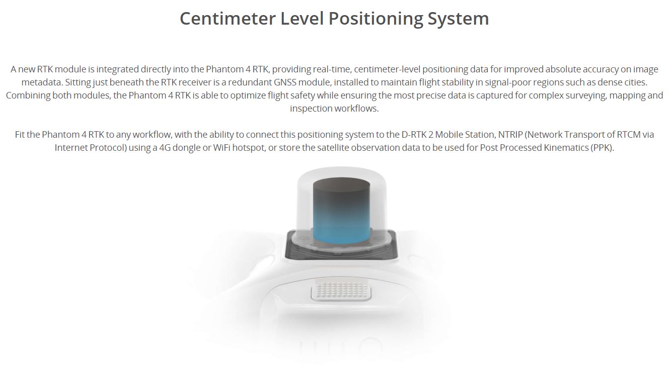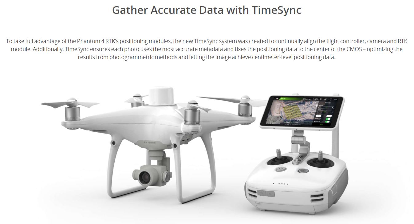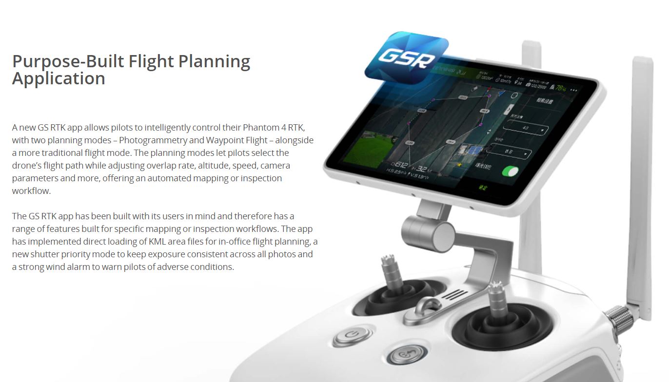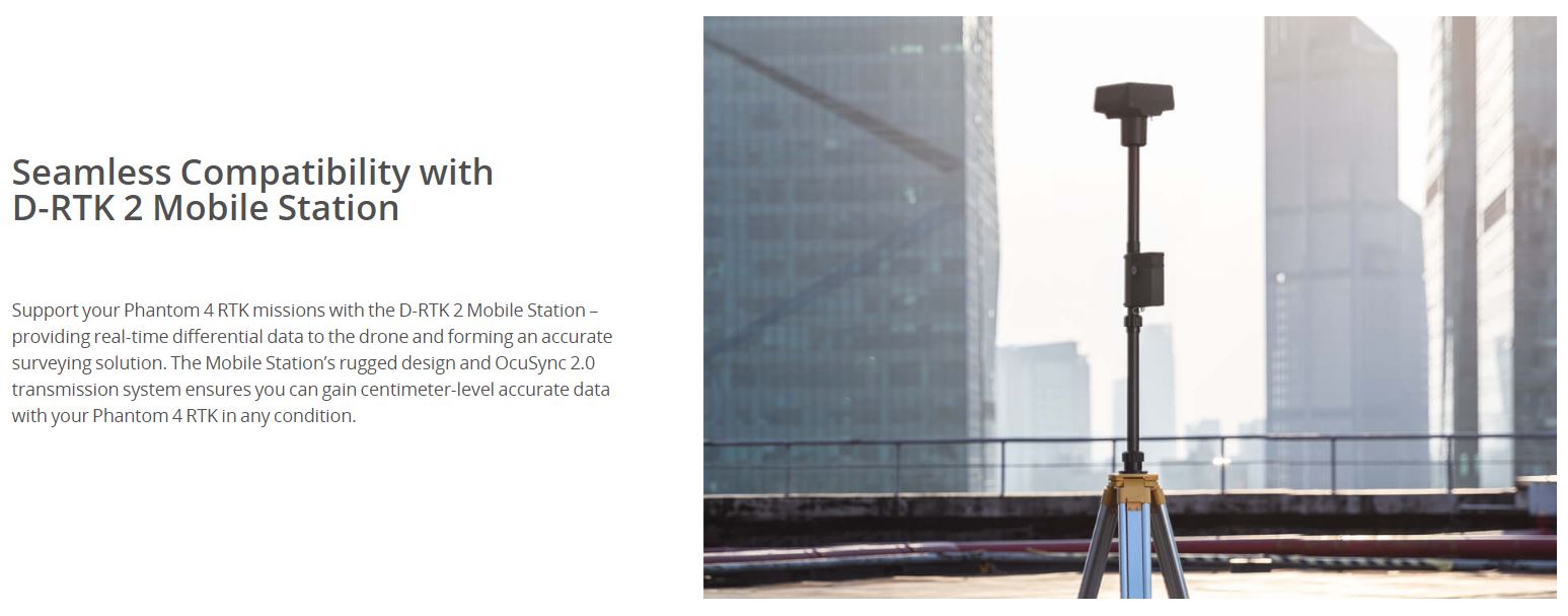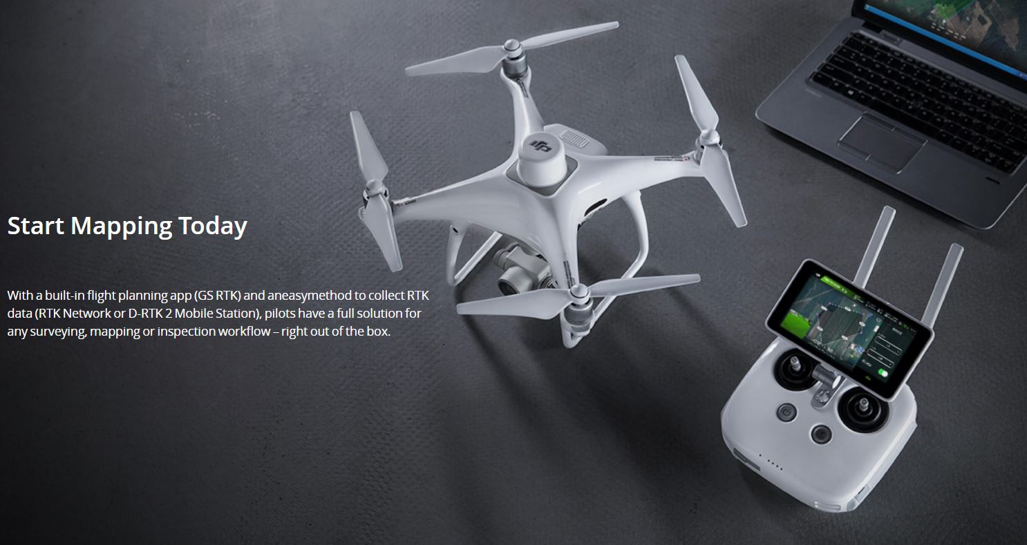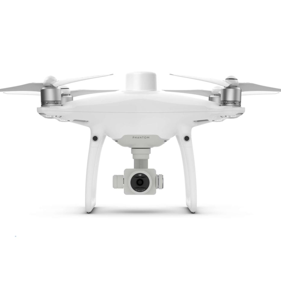
The DJI Phantom 4 RTK has a built-in survey grade RTK GNSS which enables you to take measurements with an accuracy of 2 to 3cm on the XY axis. The Phantom 4 RTK can be used with a VRS such as FLEPOS in Flanders or WALCORS in Wallonia, using a 4G dongle with a micro SIM card to directly dial into the FLEPOS server. When used in poorly covered 4G areas or in urban areas, the DJI DRTK 2 base station can be used. This RTK base station can also be used as a handheld RTK GPS. On the Android based screen there is a FLY/PLANNING app installed which allows you to perform automatic flights, you only need to indicate the flight area and set some parameters like flight altitude, desired overlap and more. The flight execution is fully automatic from take-off to landing. The photos are immediately provided with the corrected RTK data in the EXIF. You can load these pictures directly into photogrammetry software such as Pix4D or Agisoft.
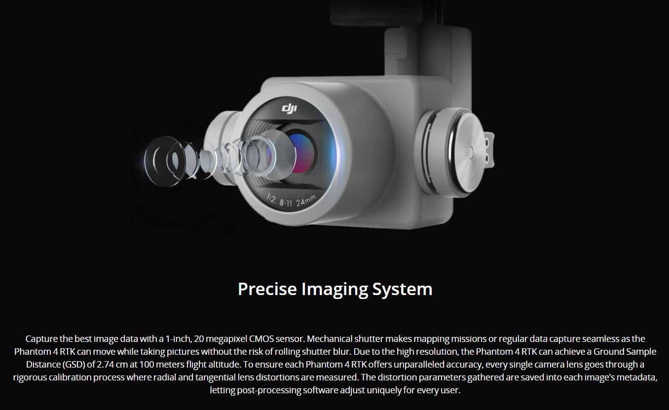
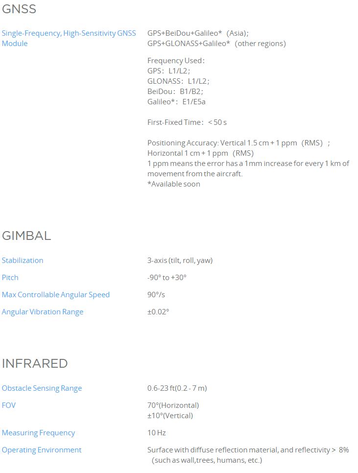
The Phantom 4 RTK features a 20 MP camera with a 1" sensor that achieves a GSD (groud sample distance) of 1cm at 35m flying altitude. The camera is also equipped with a mechanical shutter which has advantages over a camera with rolling shutter in photogrammetry.
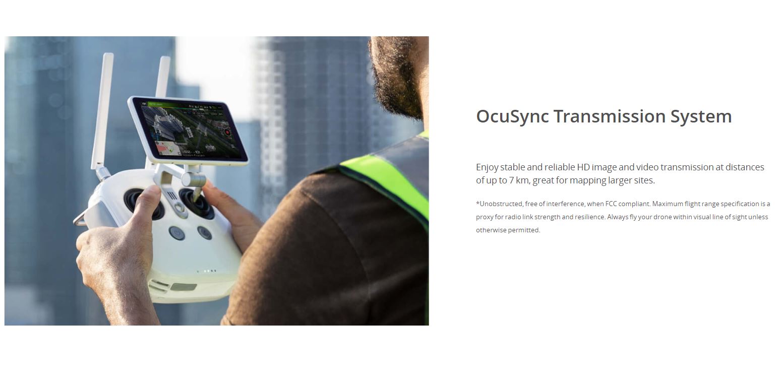
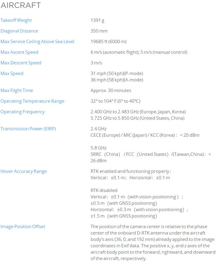
The flight time is approximately 30 minutes which corresponds to 10 hectares @ 1.65cm GSD. With the Occusync data link, the Phantom 4 RTK has a theoretical range of 5km.