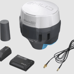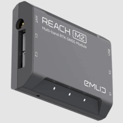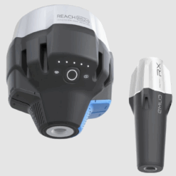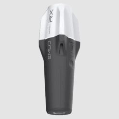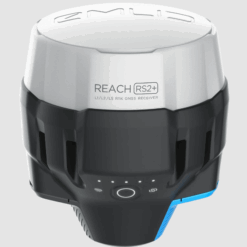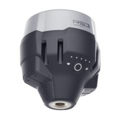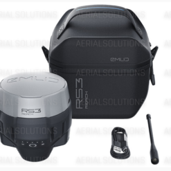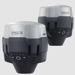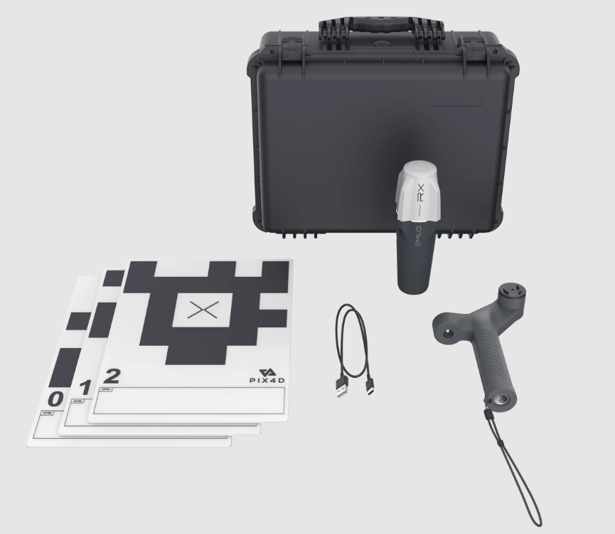

Solution for the combining of terrestrial and aerial scanning with RTK-accuracy
Enter your dronephotogrammetry data to with terrestrial scans thanks to the mobile solution from Emlid and Pix4D. The software combination at this kit helps your at the analyze and extract of important insights from both terrestrial as well as aerial data. Take advantage from online and offline processing, advanced photogrammetry, team-collaboration and AR-overlays for CAD-models.
Software*
-
PIX4Dcatch
-
PIX4Dcloud Advanced
-
PIX4Dmatic
-
PIX4Dsurvey
-
PIX4Dcatch-training