Measuring volumes of mountains of sand or other materials is a time-consuming and costly task. With the help of a drone, this can be done considerably cheaper and much faster.
A flight plan is drawn up depending on the size of the terrain, the desired overlap and ground resolution, and the drone will then automatically fly over the area and take pictures at the desired locations.
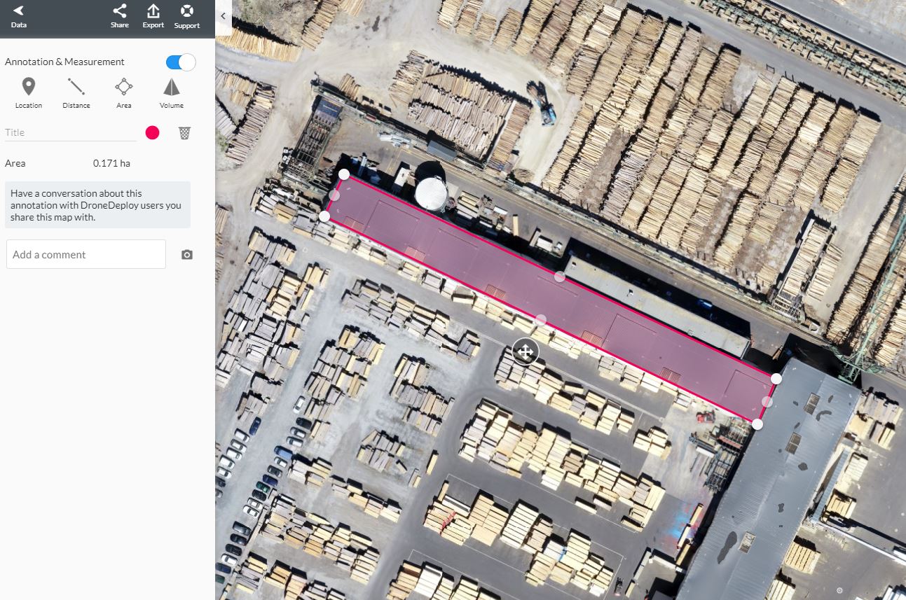
Afterwards, all photos are processed in photogrammetry software. This results in a 2D and 3D map in which all present volumes, distances and surfaces can be measured.
Ground control points are superfluous in most cases as several studies have shown that models with GCPs and without GCPs have a difference of 2.5 - 4.5% - Case Study Date
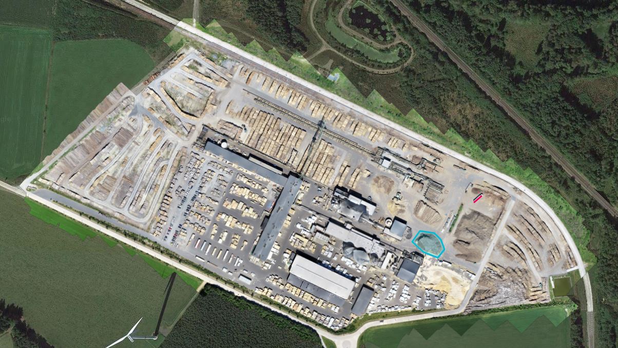
Project in Luxembourg 47 hectares. Purpose: Measuring volumes of different batches of timber.


